Lately I've been wading through LbNA and mapping out every potentially viable box I don't yet have in the greater Los Angeles area. By that I mean from Ventura to Yucaipa, from Santa Clarita to San Clemente. I've got a really big folder full of clue sheets and Google maps in my car at all times now.

You see, for my current job I drive a lot, and often end up in the Inland Empire at the end of my day. This has allowed me to then nab some boxes that wouldn't normally be nearby. Today I went after two on AQ from a new planter, and a really old one by a Girl Scout troop that required a drive up the Rim Of The World Highway north from the 210, just east of the 215 interchange.

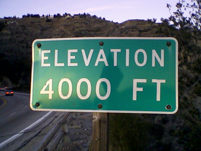
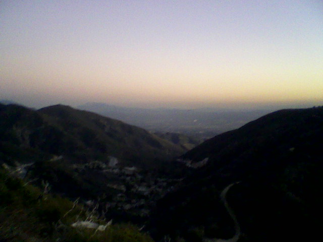
Now I expect some of these old abandoned listings to be missing, but I still had a great time looking for Mormon Lumber Road. And as I drove back down the mountain, I stopped at an overlook by the 4000 feet elevation sign to snap some shots of the view. That's when I noticed a fire road trail on a hill below. I soon drove down and located the trailhead on the right side with a small gravel area to park in.
Scavenging what I had on hand in the car, I used a spare container and extra baggies to quickly make a letterbox. I had a route printout from work that day, a few pages that were blank on the back, so I folded them up for a logbook. I also had on hand my son's old signature stamp that he really doesn't want to use anymore. I called him and asked permission for him to never have to see it again, which he had no problem with. So this impromptu box would oddly contain a hand-carved stamp depicting his love of video games.
And off I went up the trail. I plant far too many drive-bys, so I was determined to make this an honest-to-goodness hike, worthy of Ryan and Amanda, or even Wanda and Pete. I was hoping for a climb to a peak or ridge with a great view. Instead, I went up around a hill and down to a cement pass, then up another bigger hill. I followed this for a while, and since the view was already great, I gave up on the need for a high-point and now just sought a landmark. Any landmark. I needed some way to write a clue.
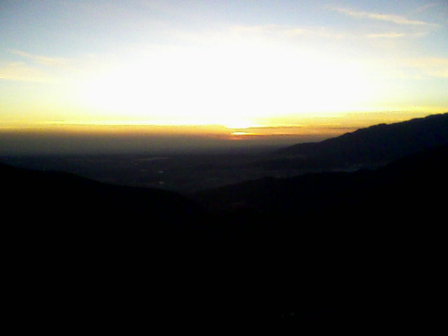
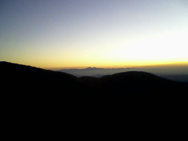
It was getting dark and I was about to give up when a lumber guard-rail appeared on the left. I thought it would round the curve and end, then I could just count a few steps beyond and make a SPOR, but it kept going. When it also started on the right, I kept going, hoping for an end soon. Instead I got to a gate and a tower and decided to turn back. When I reached the point where the right side had begun, I stashed the box on the opposite side behind a post and put a SPOR over it.
As I hiked back, I suddenly thought I might get in trouble, because I was confusing a National Forest with a National Park, but it was too late to change my mind now.
When I got back to my car, I decided I would just count the turn-outs as I descended to the exit at Old Waterman Canyon Road. I knew it wasn't far, as I was thinking of the second exit above 3000 feet, not the first one I'd passed below that had the pointing Indian. But it was too dark to be certain I was counting every turn-out, so I just watched the odometer. It was 1.7 miles from the trailhead down to the exit where a small cluster of houses sat.
Exhausted but fulfilled, I made the long drive home, anxious to upload the photos from my phone. Now, how should I go about writing the clues?
| 
